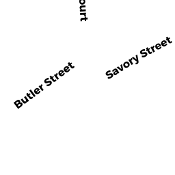
5 SAVORY ST
Owner Information
OLSEN STUART K
5 SAVORY ST
NEWBURYPORT, MA 01950


Property Details
5 SAVORY ST is classified as a Single Family Residential (Conventional).
The primary structure on this property was built in 1953. There are 5,278ft2 of built area within this property. There is 2,798ft2 of residential/living space within this property. This property is listed as having 50 rooms.
5 SAVORY ST is valued at $819,100. The land is valued at $294,200 and the structures are valued at $521,800. There is an additional valuation of $3,100 on this property.
This property is in Zone WMD. Confirm with local Zoning Board authorities to ensure there are no overlays or other easements on this property.
The most recent deed for 5 SAVORY ST is recorded at the local registrar in Book 16816, Page 356. 5 SAVORY ST was last sold on Thursday, January 18, 2001 for $318,000.
Assessment data from fiscal year 2021.
Flood Data
According to the FEMA National Flood Hazard Layer, this property does not appear to be in a flood zone. It may also be in an area not yet reviewed. Nonetheless, confirm this information prior to taking any action.
To view the flood hazards around this property, create a FEMA "Firmette" Map of the area around 5 SAVORY ST.
Broadband Internet Providers
| Provider | Type | Bandwidth (mbps) | |
|---|---|---|---|
| Viasat Inc | Satellite | 100 | 3 |
| HughesNet | Satellite | 25 | 3 |
| VSAT Systems, LLC. | Satellite | 2 | 1 |
| GCI Communication Corp. | Satellite | 0 | 0 |
| T-Mobile | Fixed Wireless | 25 | 3 |
| Comcast | Cable | 1000 | 35 |
| Verizon New England Inc. | DSL | 10 | 1 |
Broadband service provider data from December 2020.
Adjacent Properties
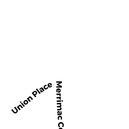
- 6-6.5 MERRIMAC CT
Other, Open Space owned by CONDO MAIN - 6 MERRIMAC CT UNIT A
CONDO MDL-05 owned by FUTRAL KAREN - 6 MERRIMAC CT UNIT B
CONDO MDL-05 owned by LAWTON JACQUELINE - 6 MERRIMAC CT UNIT C
CONDO MDL-05 owned by RIVARD MARY - 2 MERRIMAC CT
Single Family Residential owned by REYNOLDS KRISTOPHER M - 334R MERRIMAC ST
Single Family Residential owned by MATHISEN HAROLD C IV - 7 SAVORY ST
Potentially Developable Residential Land owned by MATHISEN HAROLD C IV - 3 SAVORY ST
Single Family Residential owned by DEFELICE WENDY S TRS - 1 SAVORY ST
SFR WATER MDL-01 owned by MCPHERSON DONALD D JR